
Satellite and drone technologies closer to supporting forage farmers
CyberGrass 2.0 has reached the halfway point, with satellite- and drone-based technologies moving closer to practical use in forage farming.

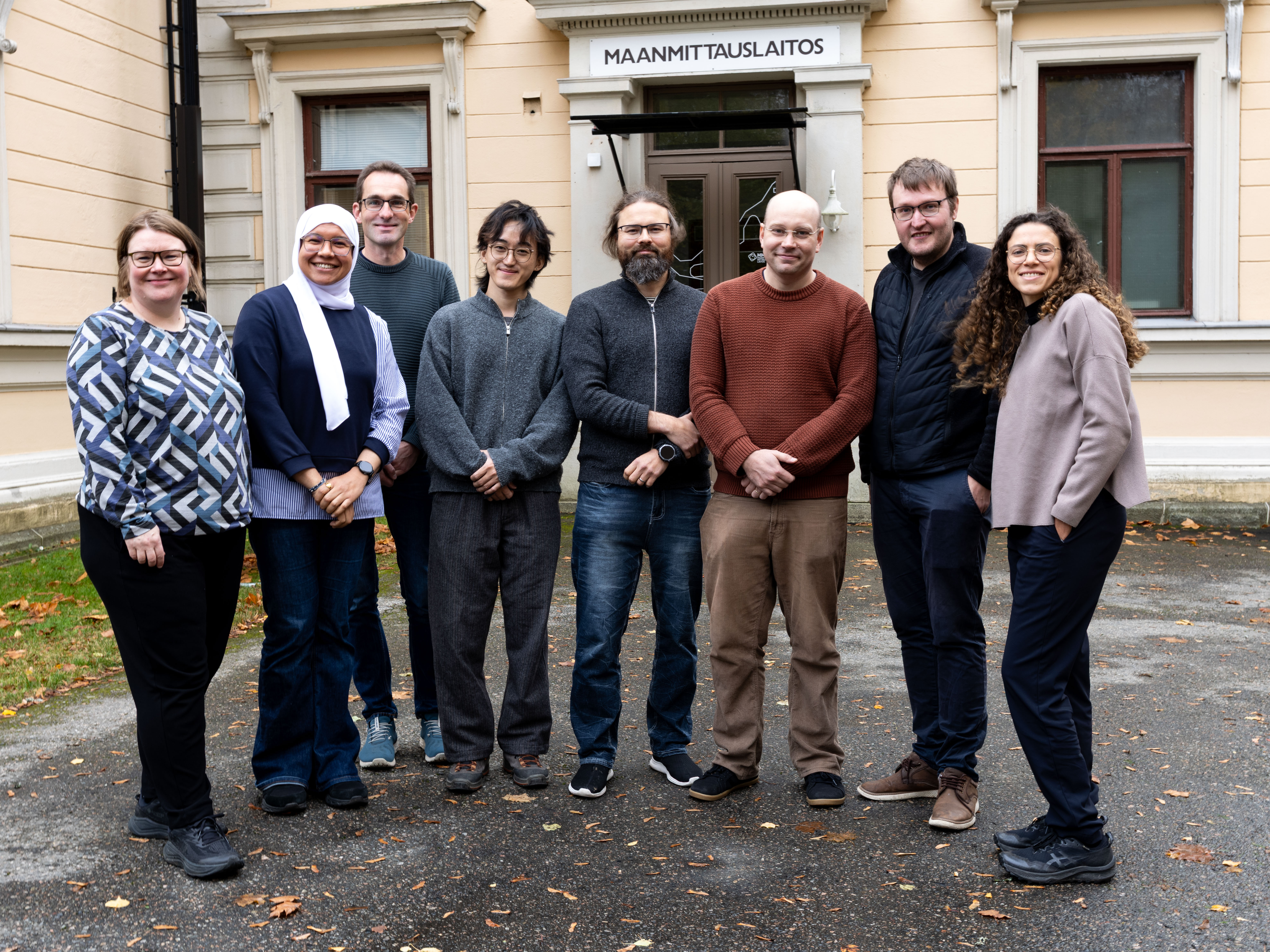
Project partners from Sweden, Iceland and Finland gathered in early October in Kuopio, Finland, to review progress ahead of reporting for the project's third reporting period.
Following a meeting at the National Land Survey office in the city of Kuopio, participants visited the Natural Resources Institute Finland's research facilities in Maaninka, where they were introduced to several innovative research methods related to forage production.
The overall aim of CyberGrass 2.0 is to develop digital tools that help farmers optimize forage production. Satellite and drone imagery, together with other forms of remote sensing, are being used to create new decision-support systems for grassland farming.
”As CyberGrass 2.0 reaches the midpoint, both satellite-based and drone-assisted technologies are moving closer to becoming practical tools that can help farmers make better-informed management decisions and improve the efficiency and sustainability of forage production”, says project manager Julianne Oliveira.
Models approaching completion
The objective of Work Package 1 is to develop a service capable of providing predictions of forage yield, quality and optimal harvest timing.
So far data collection largely has progressed according to plan. Grass samples have been collected across several countries, and large volumes of data are now being processed to develop predictive models for both yield and forage quality. The next major step will be to translate these research results into practical decision-support functions within the web-based platform that the project will deliver.
At the same time, the partners discussed a key challenge: ensuring that the research outcomes become useful tools for farmers in normal practice. The project is likely to reach a level of technical maturity where the methods work reliably under real farming conditions. However, commercial adoption will still require software developers, advisory organizations and other stakeholders to integrate these solutions into farm management systems.
One important conclusion from the meeting was therefore that the project now needs to strengthen its dialogue with software developers and other actors who can incorporate the models into digital tools used by advisors and farmers.
Discussions have already taken place with companies active in digital agriculture, but the project team hopes to broaden these contacts to ensure that the results remain open and accessible to a wide range of stakeholders.
Drone technologies show promising results
Work Package 2 focuses on developing cost-effective drone solutions for monitoring forage fields. Researchers have collected extensive drone data using both RGB and multispectral cameras. During the meeting, the team reported significant progress in three priority areas: assessment of winter damage, analysis of botanical composition and yield estimation.
Efforts to detect winter damage have advanced through the use of time series of drone imagery, enabling researchers to monitor changes in crop height and vegetation development over time. In parallel, models for estimating forage yield are being developed using repeated drone flights over experimental fields.
Although the solutions are not yet finished products, Work Package 2 is considered to be well on track to achieve its objectives. The methods are already functioning in experimental environments, and several demonstrations have been developed. The next phase will focus on validating the results across additional locations and refining the solutions for practical use in advisory services and forage production
New sensing technologies under evaluation
Work Package 3 focuses on evaluating advanced remote sensing technologies for forage yield and quality assessment and identifying the requirements for their practical adoption in agricultural monitoring. The work combines cutting-edge optical and active sensing approaches, including hyperspectral imaging and LiDAR, to explore their potential for future operational services.
Researchers have collected extensive hyperspectral and LiDAR datasets from grassland experimental sites and have made significant progress in processing and analysing multi-temporal remote sensing data.
Particular attention has been given to reflectance estimation, yield prediction modelling, and the evaluation of emerging sensing technologies such as hyperspectral LiDAR. In parallel, a comprehensive review of state-of-the-art passive and active remote sensing technologies has been completed to support future technology adoption.
Although the technologies are still at the research and demonstration stage, Work Package 3 is progressing well towards its objectives. The methods have shown promising results in experimental environments, and valuable insights have been gained regarding technical requirements, data processing workflows, and operational challenges. The next phase will focus on further validation, technology benchmarking, and assessing the feasibility of integrating advanced sensing solutions into practical grassland monitoring services.
“CyberGrass 2.0 is moving from data collection and method development towards practical applications. While significant work remains, the results presented in Kuopio suggest that both satellite- and drone-based technologies have strong potential to support future forage management across northern Europe”, says Julianne Oliveira.
Cybergrass 2.0
The EU-funded Interreg research project Cybergrass 2.0 is led by Swedish university of agriculture sciences. The other partners are Rural economy and agricultural society from Sweden, Natural resources institute Finland, Finnish geospatial research institute, Icelandic agricultural advisory center and Svarmi from Iceland.
